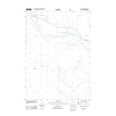
2012 Map of Caputa
USGS Topo · Published 2012About this map
The braided course of Rapid Cr dominates this Pennington County landscape, where the agricultural life of the plains is shaped by water management and topography. The Saint Germaine Ditch reflects the long-standing efforts to divert water across this arid region, connecting the rural community of Caputa with the surrounding grazing lands. To the south, Thompson Butte rises as a distinct landmark above the drainage basins of Antelope Cr. The map captures the quiet persistence of small prairie settlements like Farmingdale, located near the Farmingdale Reservoir and the Larsen Cem, which serves as a vital record for local family historians. This 2012 survey illustrates the network of rural roads, such as Saint Germaine Rd and Antelope Creek Rd, that link these isolated settlements and ranching operations together.
Find a feature on this map
17 named features on this map. Tap any name to fly to it.
Don’t see what you’re looking for? This feature index may not catch every label — zoom into the map to look around manually.
Map Details
Editions of this 2012 Caputa Map
This is the sole edition of this map. No revisions or reprints were ever made.
Other maps of this area

1893 · Rapid
USGS Topo · 1:125,000

1894 · Hermosa
USGS Topo · 1:125,000

1898 · Rapid
USGS Topo · 1:125,000

1901 · Hermosa
USGS Topo · 1:125,000

1903 · Rapid
USGS Topo · 1:125,000

1953 · Boxelder
USGS Topo · 1:24,000

1953 · New Underwood
USGS Topo · 1:24,000

1953 · New Underwood SW
USGS Topo · 1:24,000

1953 · Caputa
USGS Topo · 1:24,000

1953 · Hermosa SE
USGS Topo · 1:24,000