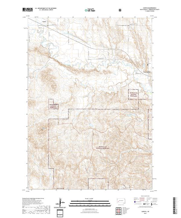
2021 Map of Caputa
USGS Topo · Published 2021About this map
Rapid Creek flows across the northern reaches of this Pennington County landscape, providing a vital water source for the small communities of Caputa and Farmingdale. The surrounding terrain is defined by the extensive reaches of the Buffalo Gap National Grassland, where the land rises toward Thompson Butte and falls away into named drainages like Lindsey Draw and Hibbs Draw. This modern survey records the complex network of agricultural and ranching infrastructure, including the Saint Germaine Ditch and several farm-to-market routes like Hammerquist Rd. For those researching local families, the location of the Larsen Cem north of Farmingdale remains a key historical landmark. The map illustrates a contemporary rural environment where irrigation systems and natural creek beds continue to shape the settlement patterns of the South Dakota plains.
Find a feature on this map
32 named features on this map. Tap any name to fly to it.
Don’t see what you’re looking for? This feature index may not catch every label — zoom into the map to look around manually.
Map Details
Editions of this 2021 Caputa Map
This is the sole edition of this map. No revisions or reprints were ever made.
Other maps of this area

1893 · Rapid
USGS Topo · 1:125,000

1894 · Hermosa
USGS Topo · 1:125,000

1898 · Rapid
USGS Topo · 1:125,000

1901 · Hermosa
USGS Topo · 1:125,000

1903 · Rapid
USGS Topo · 1:125,000

1953 · Boxelder
USGS Topo · 1:24,000

1953 · New Underwood
USGS Topo · 1:24,000

1953 · New Underwood SW
USGS Topo · 1:24,000

1953 · Caputa
USGS Topo · 1:24,000

1953 · Hermosa SE
USGS Topo · 1:24,000