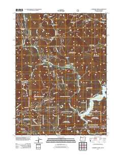
2011 Map of Carberry Creek
USGS Topo · Published 2011About this map
Carberry Creek winds through a landscape of steep timbered ridges and deep gulches in Jackson County, Oregon. The small settlement of Steamboat and the nearby Steamboat Ranch serve as central landmarks along the creek, accompanied by the Steamboat Cemetery, which preserves the names of early residents of this remote canyon. To the southeast, the terrain transitions into the recreation-focused areas surrounding Applegate Lake, where the shoreline is punctuated by Watkins and several access points like the Seattle Bar Trailhead.
Find a feature on this map
66 named features on this map. Tap any name to fly to it.
Don’t see what you’re looking for? This feature index may not catch every label — zoom into the map to look around manually.
Map Details
Editions of this 2011 Carberry Creek Map
This is the sole edition of this map. No revisions or reprints were ever made.
Other maps of this area

1908 · Grants Pass
USGS Topo · 1:125,000

1914 · Seiad
USGS Topo · 1:125,000

1922 · Seiad
USGS Topo · 1:125,000

1948 · Weed
USGS Topo · 1:250,000

1950 · Weed
USGS Topo · 1:250,000

1954 · Oregon Caves
USGS Topo · 1:62,500

1954 · Ruch
USGS Topo · 1:62,500

1955 · Seiad Valley
USGS Topo · 1:62,500

1955 · Medford
USGS Topo · 1:250,000

1956 · Happy Camp
USGS Topo · 1:62,500