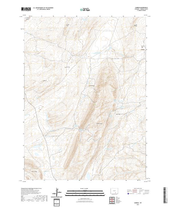
2021 Map of Carbon
USGS Topo · Published 2021About this map
Carbon sits at the northeastern edge of this Wyoming landscape, a location defined by its high-altitude ridges and numerous water-catchment basins. The terrain is marked by a series of prominent elevations including Simpson Ridge, Hi Allen Ridge, and the Number 5 Ridge, which rise above a network of drainages such as Carbon Cr and Percy Cr. The presence of the Carbon Cem serves as a quiet marker of the community's history in this high desert environment. Water management is a primary feature of the area's development, evidenced by the distribution of several named bodies like Sixmile Reservoir, Irene Reservoir, and the evocatively named Fiddlers Green Reservoir. Natural springs, including Rolling Springs and Threemile Spring, dot the draws and gaps between the ridges, supporting the varied topography of the Sand Hills and Jackson Draw.
Find a feature on this map
35 named features on this map. Tap any name to fly to it.
Don’t see what you’re looking for? This feature index may not catch every label — zoom into the map to look around manually.
Map Details
Editions of this 2021 Carbon Map
This is the sole edition of this map. No revisions or reprints were ever made.
Other maps of this area

1893 · Fort Steele
USGS Topo · 1:125,000

1914 · Hanna
USGS Topo · 1:62,500

1914 · Saddleback Hills
USGS Topo · 1:62,500

1921 · Saddleback Hills
USGS Topo · 1:62,500

1954 · Rawlins
USGS Topo · 1:250,000

1955 · Elk Mountain
USGS Topo · 1:24,000

1955 · Rattlesnake Pass
USGS Topo · 1:24,000

1958 · Rawlins
USGS Topo · 1:250,000

1958 · T L Ranch
USGS Topo · 1:24,000

1962 · Rawlins
USGS Topo · 1:250,000