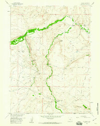
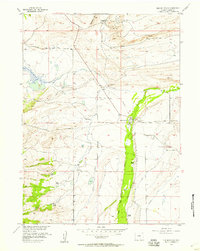
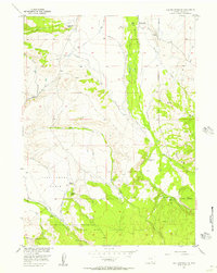
1958 Map of T L Ranch
USGS Topo · Published 1960About this map
The Medicine Bow River and Wagonhound Creek shape this high-altitude ranching landscape in Carbon County, where mid-century cattle operations and earlier homesteads define the settlement pattern. Remote family holdings like T L Ranch, Johnson Ranch, and the Wick Lower Ranch are connected by a network of unimproved roads and utility lines, including a telephone cable and pipeline. Evidence of the area's pioneer past is preserved in the path of the Overland Trail crossing the western slopes and a designated Historical Mon.
Find a feature on this map
38 named features on this map. Tap any name to fly to it.
Don’t see what you’re looking for? This feature index may not catch every label — zoom into the map to look around manually.
Map Details
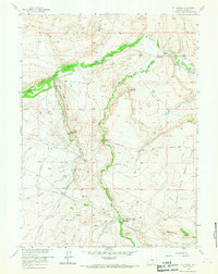
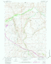
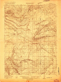
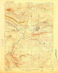
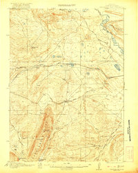
Editions of this 1958 T L Ranch Map
3 editions found
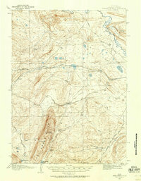
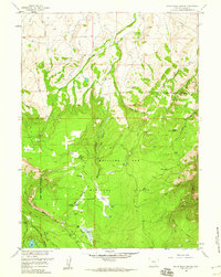
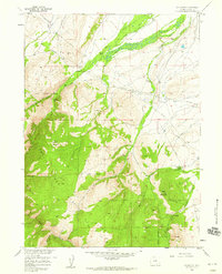
Other maps of this area
1914 · Saddleback Hills
USGS Topo · 1:62,500
1915 · Como Ridge
USGS Topo · 1:48,000
1918 · Como Ridge
USGS Topo · 1:62,500
1921 · Saddleback Hills
USGS Topo · 1:62,500

1954 · Rawlins
USGS Topo · 1:250,000
1955 · Elk Mountain
USGS Topo · 1:24,000
1955 · Elk Mountain SW
USGS Topo · 1:24,000

1958 · Rawlins
USGS Topo · 1:250,000
1958 · White Rock Canyon
USGS Topo · 1:24,000
1958 · Arlington
USGS Topo · 1:24,000