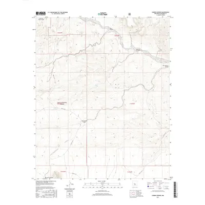
2017 Map of Carbon Springs
USGS Topo · Published 2017About this map
Rio Salado winds through this arid expanse of Socorro County, where high-desert drainage patterns define the landscape of the Cibola National Forest. The terrain is deeply incised by complex canyon systems, most notably Baca Canyon and the descriptive Cañon de las Cabras. These natural corridors, along with Bear Springs Canyon and Cedar Springs Canyon, suggest a landscape historically shaped by seasonal water flow and the search for reliable springs. The presence of Carbon Springs, Baca Spring, and the man-made Boulder Tank highlights the critical importance of water sources for both livestock and wildlife management within this rugged national forest setting. Remote forest access is documented through routes like Forest 354 Rd and Forest Rd 506, which traverse the high elevations and steep breaks of the quadrangle.
Find a feature on this map
19 named features on this map. Tap any name to fly to it.
Don’t see what you’re looking for? This feature index may not catch every label — zoom into the map to look around manually.
Map Details
Editions of this 2017 Carbon Springs Map
This is the sole edition of this map. No revisions or reprints were ever made.
Other maps of this area

1954 · Socorro
USGS Topo · 1:250,000

1958 · Socorro
USGS Topo · 1:250,000

1959 · Magdalena
USGS Topo · 1:62,500

1959 · Riley
USGS Topo · 1:62,500

1962 · Socorro
USGS Topo · 1:250,000

1964 · La Jara Peak
USGS Topo · 1:24,000

1964 · Silver Hill
USGS Topo · 1:24,000
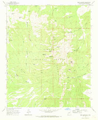
1964 · Mesa Cencerro
USGS Topo · 1:24,000
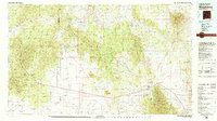
1979 · Magdalena
USGS Topo · 1:100,000
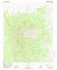
1985 · Ladron Peak
USGS Topo · 1:24,000