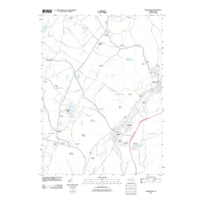
2010 Map of Carbondale
USGS Topo · Published 2010About this map
The Lackawanna River corridor defines the industrial and residential heart of this area, as seen in the densely populated boroughs of Carbondale, Mayfield, and Jermyn. This region reflects a complex landscape shaped by its anthracite history, where the built environment sits adjacent to significant geological and extraction features. The Archbald Pothole stands as a notable glacial relic near the southern boundary, while the legacy of the coal industry is clearly marked by the Murrins Mines, Fall Brook Mines, and the Coal Brook Tunnel to the north.
Find a feature on this map
92 named features on this map. Tap any name to fly to it.
Don’t see what you’re looking for? This feature index may not catch every label — zoom into the map to look around manually.
Map Details
Editions of this 2010 Carbondale Map
This is the sole edition of this map. No revisions or reprints were ever made.
Other maps of this area

1889 · Scranton
USGS Topo · 1:62,500

1891 · Scranton
USGS Topo · 1:62,500

1892 · Honesdale
USGS Topo · 1:62,500

1892 · Dundaff
USGS Topo · 1:62,500

1893 · Scranton
USGS Topo · 1:62,500

1928 · Ariel
USGS Topo · 1:62,500

1932 · Ariel
USGS Topo · 1:62,500

1943 · Scranton
USGS Topo · 1:125,000

1943 · Honesdale
USGS Topo · 1:125,000

1946 · Dalton
USGS Topo · 1:24,000