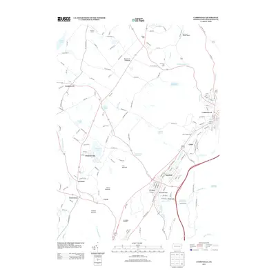
2013 Map of Carbondale
USGS Topo · Published 2013About this map
The Lackawanna River valley serves as the industrial and residential heart of this region, where the urban corridor of Carbondale, Mayfield, and Jermyn follows the river's path. This landscape is a complex mix of valley floor settlements and high-elevation features like the Archbald Pothole and the ridges of Cary Mountain. The map details a sophisticated water management system, including the O and W Reservoir, Rush Brook Reservoir, and Edgerton Reservoir, which sit above the valley settlements. Further west, the terrain transitions to a more residential and recreational character around Chapman Lake and Heart Lake. Small hamlets such as Tompkinsville and Montdale are linked by a dense network of local roads like Poor Farm Rd and Hickory Ridge Rd, illustrating the persistence of smaller communities outside the primary river corridor.
Find a feature on this map
146 named features on this map. Tap any name to fly to it.
Don’t see what you’re looking for? This feature index may not catch every label — zoom into the map to look around manually.
Map Details
Editions of this 2013 Carbondale Map
This is the sole edition of this map. No revisions or reprints were ever made.
Other maps of this area

1889 · Scranton
USGS Topo · 1:62,500

1891 · Scranton
USGS Topo · 1:62,500

1892 · Honesdale
USGS Topo · 1:62,500

1892 · Dundaff
USGS Topo · 1:62,500

1893 · Scranton
USGS Topo · 1:62,500

1928 · Ariel
USGS Topo · 1:62,500

1932 · Ariel
USGS Topo · 1:62,500

1943 · Scranton
USGS Topo · 1:125,000

1943 · Honesdale
USGS Topo · 1:125,000

1946 · Dalton
USGS Topo · 1:24,000