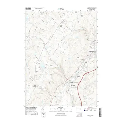
2016 Map of Carbondale
USGS Topo · Published 2016About this map
The Lackawanna River corridor anchors this 2016 survey, defining a narrow valley of dense settlements including Mayfield, Jermyn, and Childs that contrasts sharply with the high ridges of Cary Mtn and Hubbard Mtn to the west. This industrial landscape is marked by unique infrastructure, such as the Coal Brook Tunnel and White Bridge Tunnel, alongside the significant natural wonder of the Archbald Pothole.
Find a feature on this map
128 named features on this map. Tap any name to fly to it.
Don’t see what you’re looking for? This feature index may not catch every label — zoom into the map to look around manually.
Map Details
Editions of this 2016 Carbondale Map
This is the sole edition of this map. No revisions or reprints were ever made.
Other maps of this area

1889 · Scranton
USGS Topo · 1:62,500

1891 · Scranton
USGS Topo · 1:62,500

1892 · Honesdale
USGS Topo · 1:62,500

1892 · Dundaff
USGS Topo · 1:62,500

1893 · Scranton
USGS Topo · 1:62,500

1928 · Ariel
USGS Topo · 1:62,500

1932 · Ariel
USGS Topo · 1:62,500

1943 · Scranton
USGS Topo · 1:125,000

1943 · Honesdale
USGS Topo · 1:125,000

1946 · Dalton
USGS Topo · 1:24,000