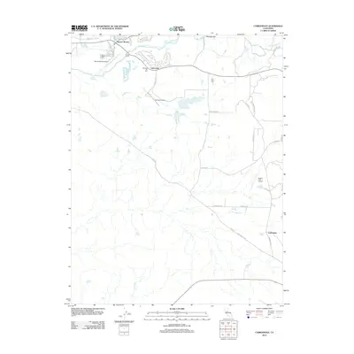
2012 Map of Carbondale
USGS Topo · Published 2012About this map
The Cosumnes River winds through this landscape, marking a transition from the developing community of Rancho Murieta to the more open ranch and aviation lands to the east. By the early 2010s, this area of Sacramento County shows a distinct pattern of modern residential clusters, such as Live Oak, interspersed with legacy locations like Bridge House and Michigan Bar. The importance of small-scale aviation is evident across the quadrangle, with Rancho Murieta Airport, Van Vleck Airport, and Eagle's Nest Airport providing regional connectivity. Local history is anchored by the Michigan Bar Cem and Live Oak Cem, while numerous creeks like Arkansas Cr and Willow Cr define the drainage of the gold-country foothills.
Find a feature on this map
37 named features on this map. Tap any name to fly to it.
Don’t see what you’re looking for? This feature index may not catch every label — zoom into the map to look around manually.
Map Details
Editions of this 2012 Carbondale Map
This is the sole edition of this map. No revisions or reprints were ever made.
Other maps of this area

1889 · Jackson
USGS Topo · 1:125,000

1891 · Sacramento
USGS Topo · 1:125,000

1891 · Placerville
USGS Topo · 1:125,000

1892 · Jackson
USGS Topo · 1:125,000

1892 · Sacramento
USGS Topo · 1:125,000

1892 · Placerville
USGS Topo · 1:125,000

1893 · Placerville
USGS Topo · 1:125,000

1893 · Sacramento
USGS Topo · 1:125,000

1894 · Lodi
USGS Topo · 1:125,000

1897 · Jackson
USGS Topo · 1:125,000