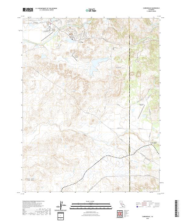
2022 Map of Carbondale
USGS Topo · Published 2022About this map
Michigan Bar and the historic transition toward the Sacramento Valley floor anchor this 2022 survey of the Sacramento and Amador County line. The landscape is defined by the winding Cosumnes River in the north and the sprawling drainage networks of Arkansas Creek, Willow Creek, and Laguna. The area maintains a rural, aviation-centric character, evidenced by three distinct landing strips: Rancho Murieta Airport, Van Vleck Airport, and Eagle's Nest Airport. Local genealogists will find significant value in the documentation of the Michigan Bar Cemetery and Live Oak Cemetery. Small historical settlements like Carbondale and Live Oak are shown alongside a network of secondary routes including Jackson Road and Twin Cities Road, illustrating the modern connectivity of this classic Gold Country periphery.
Find a feature on this map
52 named features on this map. Tap any name to fly to it.
Don’t see what you’re looking for? This feature index may not catch every label — zoom into the map to look around manually.
Map Details
Editions of this 2022 Carbondale Map
This is the sole edition of this map. No revisions or reprints were ever made.
Other maps of this area

1889 · Jackson
USGS Topo · 1:125,000

1891 · Sacramento
USGS Topo · 1:125,000

1891 · Placerville
USGS Topo · 1:125,000

1892 · Jackson
USGS Topo · 1:125,000

1892 · Sacramento
USGS Topo · 1:125,000

1892 · Placerville
USGS Topo · 1:125,000

1893 · Placerville
USGS Topo · 1:125,000

1893 · Sacramento
USGS Topo · 1:125,000

1894 · Lodi
USGS Topo · 1:125,000

1897 · Jackson
USGS Topo · 1:125,000