
1956 Map of Card Sound
USGS Topo · Published 1957About this map
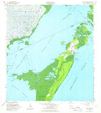
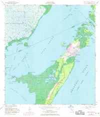
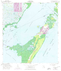
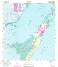
The northern tip of Key Largo and its surrounding archipelago appear here in a mid-century survey that documents the early footprint of modern development in the Upper Keys. While much of the landscape remains a complex web of mangrove shorelines and interior waters like Crocodile Lake, the emergence of the Ocean Reef Club and the settlement at Grayvik mark a transition toward the area's role as a recreational destination. The map details a sophisticated network of tropical keys including Palo Alto Key, Old Rhodes Key, and Angelfish Key, separated by narrow channels such as Broad Creek and Angelfish Creek. Navigation is a central theme of this coastal study, highlighting the Intracostal Waterway as it cuts through Card Sound and Little Card Sound, providing a vital transit corridor between the mainland and the outer reef.
Find a feature on this map
43 named features on this map. Tap any name to fly to it.
Don’t see what you’re looking for? This feature index may not catch every label — zoom into the map to look around manually.
Map Details
Editions of this 1956 Card Sound Map
5 editions found
Other maps of this area

1947 · Garden Cove
USGS Topo · 1:24,000

1947 · Blackwater Sound
USGS Topo · 1:24,000

1949 · Blackwater Sound
USGS Topo · 1:24,000

1949 · Garden Cove
USGS Topo · 1:24,000

1949 · Elliott Key
USGS Topo · 1:24,000

1949 · Card Sound
USGS Topo · 1:24,000

1949 · Pacific Reef
USGS Topo · 1:24,000

1949 · Arsenicker Keys
USGS Topo · 1:24,000

1950 · Homestead
USGS Topo · 1:24,000

1950 · Glades
USGS Topo · 1:24,000