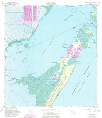
1956 Map of Card Sound
USGS Topo · Published 1983About this map
Key Largo and its northern island neighbors emerge from the waters of Card Sound and the Atlantic Ocean in this mid-century survey, revised to show the burgeoning luxury developments of the early 1970s. The northern tip of the island is dominated by the Ocean Reef Club and the settlement of Grayvik, featuring a Landing Field and the Key Largo Club. These private enclaves are contrasted by the natural preservation surrounding Crocodile Lake and the dense mangroves at High Mangrove Point.
Find a feature on this map
42 named features on this map. Tap any name to fly to it.
Don’t see what you’re looking for? This feature index may not catch every label — zoom into the map to look around manually.
Map Details
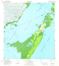
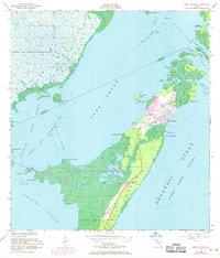
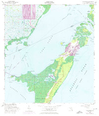
Editions of this 1956 Card Sound Map
5 editions found

Other maps of this area

1947 · Garden Cove
USGS Topo · 1:24,000

1947 · Blackwater Sound
USGS Topo · 1:24,000

1949 · Blackwater Sound
USGS Topo · 1:24,000

1949 · Garden Cove
USGS Topo · 1:24,000

1949 · Elliott Key
USGS Topo · 1:24,000

1949 · Card Sound
USGS Topo · 1:24,000

1949 · Pacific Reef
USGS Topo · 1:24,000

1949 · Arsenicker Keys
USGS Topo · 1:24,000

1950 · Homestead
USGS Topo · 1:24,000

1950 · Glades
USGS Topo · 1:24,000