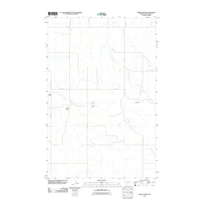
2011 Map of Carda Coulee
USGS Topo · Published 2011About this map
Latka Reservoir sits at the heart of this Richland County landscape, where early 21st-century agricultural infrastructure and natural drainage patterns define the territory. Fed by the North Fork East Redwater Creek, the reservoir system is managed by both the Latka Dam and Latka Number 5 Dam, illustrating the vital importance of water storage in this semi-arid region. The terrain is marked by prominent elevations like Flag Butte and deep incisions such as Carda Coulee. A network of rural routes, including County Rd 319 and County Rd 132, connects the remote homesteads and ranch lands that rely on the watershed provided by West Charlie Creek and the various forks of Fox Creek.
Find a feature on this map
17 named features on this map. Tap any name to fly to it.
Don’t see what you’re looking for? This feature index may not catch every label — zoom into the map to look around manually.
Map Details
Editions of this 2011 Carda Coulee Map
This is the sole edition of this map. No revisions or reprints were ever made.
Other maps of this area

1909 · Glendive
USGS Topo · 1:250,000

1954 · Glendive
USGS Topo · 1:250,000

1957 · Glendive
USGS Topo · 1:250,000

1958 · Glendive
USGS Topo · 1:250,000

1972 · Fox Lake
USGS Topo · 1:24,000

1972 · Kuester Lake
USGS Topo · 1:24,000

1972 · Enid
USGS Topo · 1:24,000

1981 · Sidney
USGS Topo · 1:100,000
1983 · Elmdale
USGS Topo · 1:24,000
1983 · Carda Coulee
USGS Topo · 1:24,000