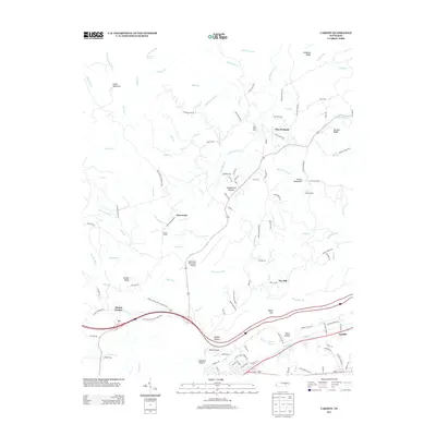
2013 Map of Cardiff
USGS Topo · Published 2013About this map
Cumberland Plateau terrain defines the landscape of Roane County, where the settlement of Cardiff sits at the foot of ridges and hollows. The industrial legacy of the area is etched into the topography through names like Coalbank Hollow and Furnace Ave, while the community’s social fabric is anchored by the Mount Vernal Baptist Church. To the north, the terrain transitions into a network of ridges including Smith Mountain and Galbreth Ridge, intersected by numerous waterways such as Crab Orchard Cr and Clifty Cr. The map captures a moment of modern accessibility alongside traditional landmarks, showing the Rockwood Municipal Airport positioned near old travel points like Flat Rock Ford. From the heights of Mt Roosevelt State Forest to the small community of Pine Orchard, the survey details a region where infrastructure and natural relief are closely intertwined.
Find a feature on this map
132 named features on this map. Tap any name to fly to it.
Don’t see what you’re looking for? This feature index may not catch every label — zoom into the map to look around manually.
Map Details
Editions of this 2013 Cardiff Map
This is the sole edition of this map. No revisions or reprints were ever made.
Other maps of this area

1887 · Kingston
USGS Topo · 1:125,000

1891 · Kingston
USGS Topo · 1:125,000

1893 · Kingston
USGS Topo · 1:125,000

1895 · Wartburg
USGS Topo · 1:125,000

1896 · Wartburg
USGS Topo · 1:125,000

1935 · Rockwood
USGS Topo · 1:24,000

1935 · Camp Austin
USGS Topo · 1:24,000

1935 · Harriman
USGS Topo · 1:24,000

1935 · Lancing
USGS Topo · 1:24,000

1936 · Hebbertsburg
USGS Topo · 1:24,000