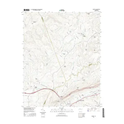
2016 Map of Cardiff
USGS Topo · Published 2016About this map
Rockwood sits at the foot of Walden Ridge, marking a sharp transition between the Tennessee Valley and the elevated terrain of the Cumberland Plateau. This landscape is defined by its deep hollows and prominent ridges, including Graves Ridge and Kittrell Ridge. The map details the rural character of Roane and Morgan counties, highlighting small settlements like Pine Orchard and Cardiff. Local history is preserved in numerous family and community cemeteries such as Hembree Cem, Pyott Cem, and the Golliher Cem near Mount Vernon.
Find a feature on this map
132 named features on this map. Tap any name to fly to it.
Don’t see what you’re looking for? This feature index may not catch every label — zoom into the map to look around manually.
Map Details
Editions of this 2016 Cardiff Map
This is the sole edition of this map. No revisions or reprints were ever made.
Other maps of this area

1887 · Kingston
USGS Topo · 1:125,000

1891 · Kingston
USGS Topo · 1:125,000

1893 · Kingston
USGS Topo · 1:125,000

1895 · Wartburg
USGS Topo · 1:125,000

1896 · Wartburg
USGS Topo · 1:125,000

1935 · Rockwood
USGS Topo · 1:24,000

1935 · Camp Austin
USGS Topo · 1:24,000

1935 · Harriman
USGS Topo · 1:24,000

1935 · Lancing
USGS Topo · 1:24,000

1936 · Hebbertsburg
USGS Topo · 1:24,000