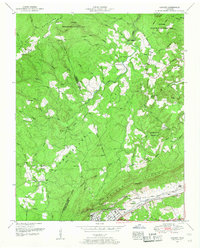
1952 Map of Cardiff
USGS Topo · Published 1954About this map
Walden Ridge and the Cumberland Plateau dominate this 1952 topographic study, revealing the complex borderlands of Roane, Morgan, and Cumberland counties. The industrial character of the southern section is anchored by the Southern railroad line passing through Rockwood and the settlement of Cardiff. This area shows a dense concentration of local heritage sites, including the Pyatt Cemetery, Tedder Cemetery, and Auff Cem located near the rail corridor.
Find a feature on this map
77 named features on this map. Tap any name to fly to it.
Don’t see what you’re looking for? This feature index may not catch every label — zoom into the map to look around manually.
Map Details
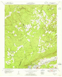
Editions of this 1952 Cardiff Map
2 editions found
Other maps of this area

1887 · Kingston
USGS Topo · 1:125,000

1891 · Kingston
USGS Topo · 1:125,000

1893 · Kingston
USGS Topo · 1:125,000

1895 · Wartburg
USGS Topo · 1:125,000

1896 · Wartburg
USGS Topo · 1:125,000

1935 · Rockwood
USGS Topo · 1:24,000

1935 · Camp Austin
USGS Topo · 1:24,000

1935 · Harriman
USGS Topo · 1:24,000

1935 · Lancing
USGS Topo · 1:24,000

1936 · Hebbertsburg
USGS Topo · 1:24,000