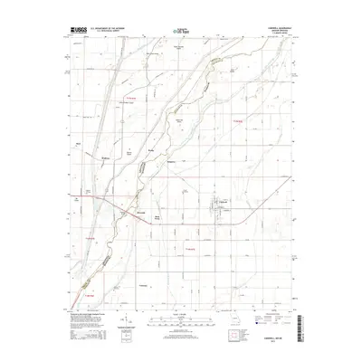
2015 Map of Cardwell
USGS Topo · Published 2015About this map
The Saint Francis River snakes along the state line, carving a complex boundary between Missouri and Arkansas. This landscape is defined by its low-lying, watery geography, featuring numerous named islands like Bark Camp Island and Indian Hill Island. The town of Cardwell serves as a primary hub in Dunklin County, situated near the intersection of several significant drainage systems, including the Kinnemore Slough and Red Devil Ditch. These ditches and sloughs illustrate the region's long-standing reliance on water management to support its agricultural character.
Find a feature on this map
83 named features on this map. Tap any name to fly to it.
Don’t see what you’re looking for? This feature index may not catch every label — zoom into the map to look around manually.
Map Details
Editions of this 2015 Cardwell Map
This is the sole edition of this map. No revisions or reprints were ever made.
Other maps of this area

1934 · Kennett
USGS Topo · 1:62,500

1940 · Marmaduke
USGS Topo · 1:62,500

1940 · Kennett
USGS Topo · 1:62,500

1941 · Leachville
USGS Topo · 1:62,500

1941 · Manila
USGS Topo · 1:62,500

1953 · Memphis
USGS Topo · 1:250,000

1956 · Leachville
USGS Topo · 1:62,500

1956 · Kennett
USGS Topo · 1:62,500

1956 · Manila
USGS Topo · 1:62,500

1956 · Memphis
USGS Topo · 1:250,000