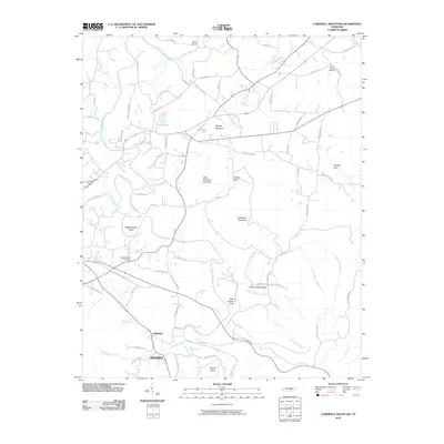
2010 Map of Cardwell Mountain
USGS Topo · Published 2010About this map
The Collins River snakes through this 2010 landscape of central Tennessee, creating sharp geographic features like Lock Bend and Higgenbottom Bend. The topography is dominated by the massive profiles of Cardwell Mountain and Little Cardwell Mountain, while smaller peaks like Grassy Mountain rise to the north. Settlement is concentrated in the small communities of Fairview and Smyrna in the south, while the rest of the map is defined by family-named landmarks and secluded natural features.
Find a feature on this map
75 named features on this map. Tap any name to fly to it.
Don’t see what you’re looking for? This feature index may not catch every label — zoom into the map to look around manually.
Map Details
Editions of this 2010 Cardwell Mountain Map
This is the sole edition of this map. No revisions or reprints were ever made.
Other maps of this area

1893 · Mc Minnville
USGS Topo · 1:125,000

1895 · Mc Minnville
USGS Topo · 1:125,000

1942 · Statesville
USGS Topo · 1:100,000

1943 · Cookeville
USGS Topo · 1:100,000

1943 · Mc Minnville
USGS Topo · 1:100,000

1944 · Cookeville
USGS Topo · 1:100,000

1953 · Chattanooga
USGS Topo · 1:250,000

1953 · Mc Minnville
USGS Topo · 1:24,000
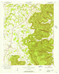
1955 · Viola
USGS Topo · 1:24,000
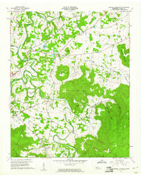
1957 · Cardwell Mountain
USGS Topo · 1:24,000