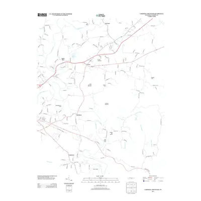
2013 Map of Cardwell Mountain
USGS Topo · Published 2013About this map
The Collins River winds through Warren County in this modern survey, defining the landscape between Rowland and Fairview. The river's path creates significant geological features like Higginbottom Bend and Turners Bend, while providing the drainage for numerous tributaries including Charles Cr and the Barren Fork. The settlement pattern is concentrated along the river valley and the foothills of the Cumberland Plateau, with communities such as Union and Shellsford serving as local hubs.
Find a feature on this map
153 named features on this map. Tap any name to fly to it.
Don’t see what you’re looking for? This feature index may not catch every label — zoom into the map to look around manually.
Map Details
Editions of this 2013 Cardwell Mountain Map
This is the sole edition of this map. No revisions or reprints were ever made.
Other maps of this area

1893 · Mc Minnville
USGS Topo · 1:125,000

1895 · Mc Minnville
USGS Topo · 1:125,000

1942 · Statesville
USGS Topo · 1:100,000

1943 · Cookeville
USGS Topo · 1:100,000

1943 · Mc Minnville
USGS Topo · 1:100,000

1944 · Cookeville
USGS Topo · 1:100,000

1953 · Chattanooga
USGS Topo · 1:250,000

1953 · Mc Minnville
USGS Topo · 1:24,000
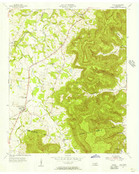
1955 · Viola
USGS Topo · 1:24,000
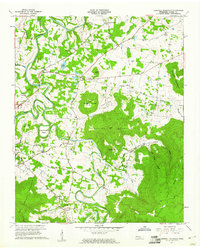
1957 · Cardwell Mountain
USGS Topo · 1:24,000