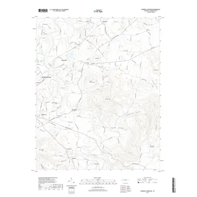
2019 Map of Cardwell Mountain
USGS Topo · Published 2019About this map
Mcminnville and its surrounding highlands are defined by the winding course of the Collins River, which carves through the terrain to create distinctive landforms like Higgenbottom Bend and Turners Bend. The landscape transitions from the developed streets of Mount Leo and Mcminnville into the significant elevations of Cardwell Mtn and Ben Lomond Mtn. Settlement patterns are clustered along historic corridors, with smaller communities like Shellsford, Smyrna, and Fairview serving as local hubs. The map reveals the deep-cut topography of the region, specifically in McGee Cove and Douglas Cove, where numerous springs and branches like Powder Mill Br and Powder Mill Springs emerge. Local history is anchored by sites such as the Higgenbottom Cem and Mount Vernon Cem, while the confluence of Barren Fork and the main river highlights the importance of water drainage in this part of Warren County.
Find a feature on this map
127 named features on this map. Tap any name to fly to it.
Don’t see what you’re looking for? This feature index may not catch every label — zoom into the map to look around manually.
Map Details
Editions of this 2019 Cardwell Mountain Map
This is the sole edition of this map. No revisions or reprints were ever made.
Other maps of this area

1893 · Mc Minnville
USGS Topo · 1:125,000

1895 · Mc Minnville
USGS Topo · 1:125,000

1942 · Statesville
USGS Topo · 1:100,000

1943 · Cookeville
USGS Topo · 1:100,000

1943 · Mc Minnville
USGS Topo · 1:100,000

1944 · Cookeville
USGS Topo · 1:100,000

1953 · Chattanooga
USGS Topo · 1:250,000

1953 · Mc Minnville
USGS Topo · 1:24,000
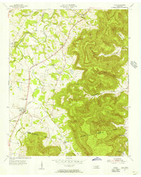
1955 · Viola
USGS Topo · 1:24,000
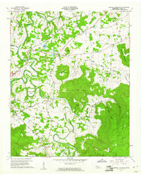
1957 · Cardwell Mountain
USGS Topo · 1:24,000