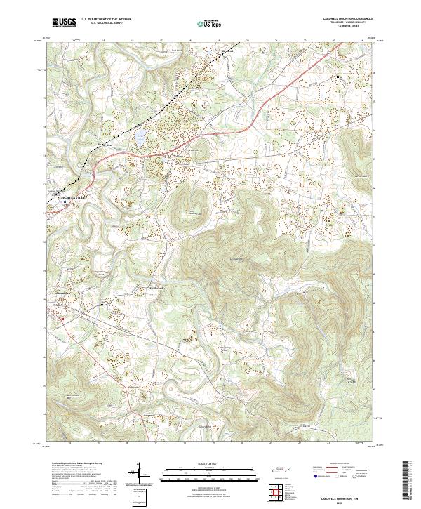
2022 Map of Cardwell Mountain
USGS Topo · Published 2022About this map
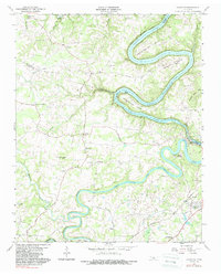
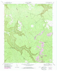
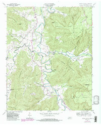
The Collins River snakes through this Warren County landscape, creating prominent geographic features like Lock Bend and Higgenbottom Bend. The city of Mcminnville anchors the western edge of the map, where the Barren Fork meets the river. The terrain is defined by significant elevations, including Cardwell Mountain and Harrison Ferry Mountain, which overlook the deep drainage of Powder Mill Hollow.
Find a feature on this map
131 named features on this map. Tap any name to fly to it.
Don’t see what you’re looking for? This feature index may not catch every label — zoom into the map to look around manually.
Map Details
Editions of this 2022 Cardwell Mountain Map
This is the sole edition of this map. No revisions or reprints were ever made.
Historical Maps of Fairview Through Time
14 maps found

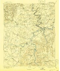
1893 Mc Minnville
Warren County, TN
1895 Mc Minnville
Warren County, TN
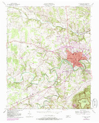
1953 Mc Minnville
Warren County, TN
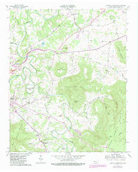
1957 Cardwell Mountain
Warren County, TN
1960 Campaign
Warren County, TN
1960 Curtistown
Warren County, TN
1960 Dibrell
Warren County, TN
1960 Irving College
Warren County, TN

1981 Mc Minnville
Warren County, TN
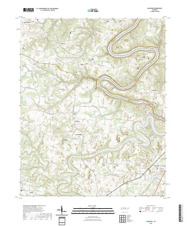
2022 Campaign
Warren County, TN
2022 Cardwell Mountain
Warren County, TN
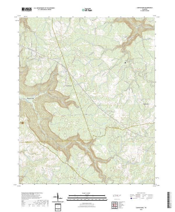
2022 Curtistown
Warren County, TN
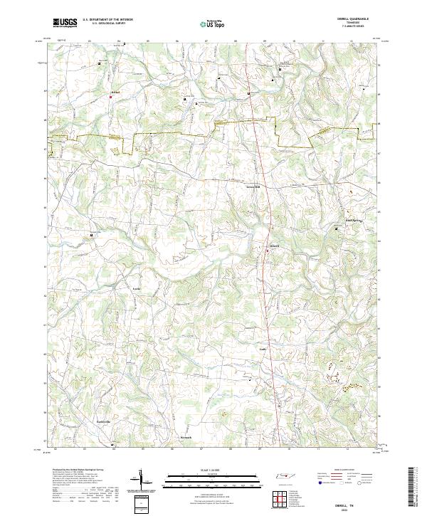
2022 Dibrell
Warren County, TN
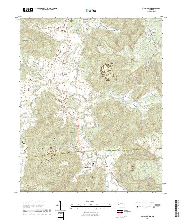
2022 Irving College
Warren County, TN