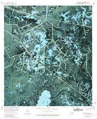
1974 Map of Carencro Bayou
USGS Topo · Published 1981About this map
Penchant Bayou snakes through the water-dominated landscape of Terrebonne Parish, illustrating the complex network of natural waterways and industrial alterations in the Louisiana marsh during the mid-1970s. This orthophotomap provides a clear view of the transition from open water bodies like Carencro Lake to the dense, vegetated terrain of Biscuit Island.
Find a feature on this map
13 named features on this map. Tap any name to fly to it.
Don’t see what you’re looking for? This feature index may not catch every label — zoom into the map to look around manually.
Map Details
Editions of this 1974 Carencro Bayou Map
2 editions found
Other maps of this area

1892 · Gibson
USGS Topo · 1:62,500

1894 · Bayou De Large
USGS Topo · 1:62,500

1897 · Gibson
USGS Topo · 1:62,500

1932 · Lake Decade
USGS Topo · 1:62,500

1935 · Morgan City
USGS Topo · 1:62,500

1935 · Lake Mechant
USGS Topo · 1:31,680

1935 · Lake Penchant
USGS Topo · 1:31,680

1939 · Gibson
USGS Topo · 1:62,500

1940 · Bayou Du Large
USGS Topo · 1:62,500

1941 · Bayou Du Large
USGS Topo · 1:62,500