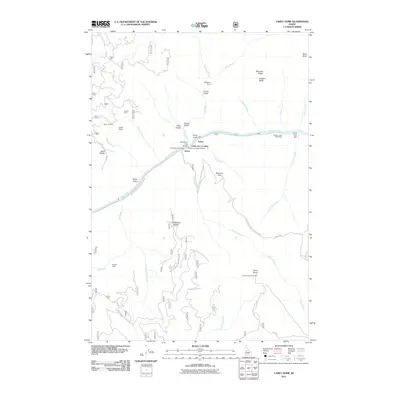
2011 Map of Carey Dome
USGS Topo · Published 2011About this map
The Salmon River cuts a deep canyon through this portion of Idaho County, serving as the primary corridor for transportation and small settlements in the early 21st century. Along its banks, the small locales of Turner and Green sit near the Wind River Pack Bridge, while a Cable Car Crossing provides a more rudimentary transit point across the water. The landscape is defined by high ridges and steep gulches, including Antler Ridge and Lovell Gulch, which bear the marks of the area's mining history.
Find a feature on this map
48 named features on this map. Tap any name to fly to it.
Don’t see what you’re looking for? This feature index may not catch every label — zoom into the map to look around manually.
Map Details
Editions of this 2011 Carey Dome Map
This is the sole edition of this map. No revisions or reprints were ever made.
Other maps of this area

1931 · Buffalo Hump
USGS Topo · 1:125,000

1934 · Buffalo Hump
USGS Topo · 1:125,000

1938 · Riggins
USGS Topo · 1:96,000

1945 · Riggins
USGS Topo · 1:125,000

1955 · Grangeville
USGS Topo · 1:250,000

1956 · Burgdorf
USGS Topo · 1:62,500

1956 · Elk City
USGS Topo · 1:250,000

1959 · Grangeville
USGS Topo · 1:250,000

1960 · Elk City
USGS Topo · 1:250,000

1963 · Hanover Mtn.
USGS Topo · 1:24,000