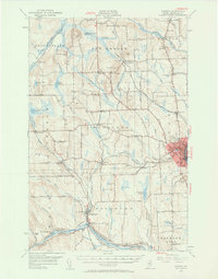
1953 Map of Caribou
USGS Topo · Published 1961About this map
The Aroostook River winds through this northern Maine landscape, anchoring a network of agricultural and timber communities connected by the Bangor and Aroostook Railroad. The town of Caribou stands as a primary hub, supported by smaller outlying settlements like New Sweden Sta and PO, Washburn, and Woodland Center. This era of development is marked by a high density of rural infrastructure, including numerous family-named hills like Fogelin Hill and educational landmarks such as the Woodland Consolidated Sch and Donnelly Bk Sch.
Find a feature on this map
85 named features on this map. Tap any name to fly to it.
Don’t see what you’re looking for? This feature index may not catch every label — zoom into the map to look around manually.
Map Details
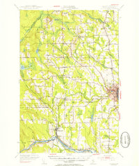
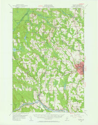
Editions of this 1953 Caribou Map
3 editions found
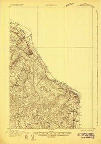
Other maps of this area

1921 · Van Buren
USGS Topo · 1:250,000

1927 · Stockholm
USGS Topo · 1:48,000

1927 · Square Lake
USGS Topo · 1:48,000

1929 · Portage
USGS Topo · 1:62,500

1929 · Caribou
USGS Topo · 1:48,000

1930 · Fort Fairfield
USGS Topo · 1:48,000

1931 · Square Lake
USGS Topo · 1:62,500

1931 · Ashland
USGS Topo · 1:48,000
1931 · Van Buren
USGS Topo · 1:48,000

1931 · Portage
USGS Topo · 1:62,500