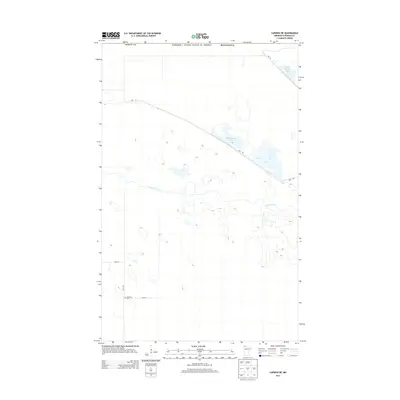
2013 Map of Caribou NE
USGS Topo · Published 2013About this map
The northern edge of Roseau County meets the international border in this 2013 survey, where the Canada / United States of America line marks the limit of the wilderness landscape. Centered on the winding course of the Roseau River, the map reveals a complex network of managed wetlands and water bodies, including Pool Number Two, Pool Number Three, and Pool 3. The human footprint is sparse, defined primarily by an occasional grid of gravel roads like 120th Ave and 340th St. A significant point of interest for local history is the Juneberry Cem, a solitary landmark in the southwestern corner that serves as a quiet record of earlier settlement in this remote corner of northern Minnesota. The presence of the Dike Rd highlights the hydraulic engineering required to manage this low-lying, water-dominated terrain.
Find a feature on this map
12 named features on this map. Tap any name to fly to it.
Don’t see what you’re looking for? This feature index may not catch every label — zoom into the map to look around manually.
Map Details
Editions of this 2013 Caribou NE Map
This is the sole edition of this map. No revisions or reprints were ever made.
Other maps of this area

1919 · Badger
USGS Topo · 1:62,500

1930 · Juneberry
USGS Topo · 1:31,680

1932 · Juneberry
USGS Topo · 1:62,500

1952 · Thief River Falls
USGS Topo · 1:250,000

1956 · Thief River Falls
USGS Topo · 1:250,000

1957 · Thief River Falls
USGS Topo · 1:250,000
1966 · Haug
USGS Topo · 1:24,000
1966 · Badger NW
USGS Topo · 1:24,000

1966 · Caribou
USGS Topo · 1:24,000
1966 · Juneberry Ridge
USGS Topo · 1:24,000