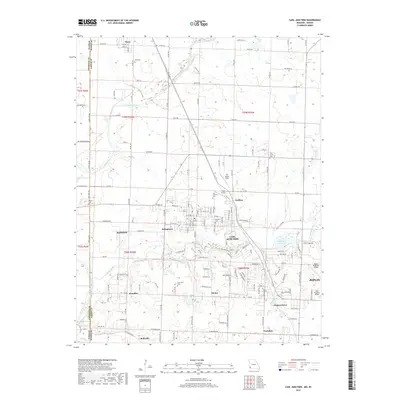
2017 Map of Carl Junction
USGS Topo · Published 2017About this map
Carl Junction and the surrounding Jasper County landscape are defined by a network of small settlements and river valleys at the edge of the Ozarks. The Spring River and Center Creek wind through the terrain, with the latter passing near the town's residential core and the local Carl Junction Cem. To the north, the community of Waco remains centered around Waco Ch and Waco Cem, while the Kansas City Southern railroad line provides a critical transportation corridor through the prairie-transition landscape.
Find a feature on this map
88 named features on this map. Tap any name to fly to it.
Don’t see what you’re looking for? This feature index may not catch every label — zoom into the map to look around manually.
Map Details
Editions of this 2017 Carl Junction Map
This is the sole edition of this map. No revisions or reprints were ever made.
Other maps of this area

1886 · Joplin
USGS Topo · 1:125,000

1886 · Carthage
USGS Topo · 1:125,000

1894 · Joplin
USGS Topo · 1:125,000

1894 · Carthage
USGS Topo · 1:125,000

1945 · Pittsburg
USGS Topo · 1:62,500

1947 · Joplin
USGS Topo · 1:250,000

1947 · Pittsburg
USGS Topo · 1:62,500

1949 · Joplin
USGS Topo · 1:250,000

1950 · Pittsburg
USGS Topo · 1:62,500

1954 · Joplin
USGS Topo · 1:250,000