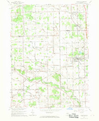
1967 Map of Carleton
USGS Topo · Published 1969About this map
Agricultural lands and industrial drainage systems define this section of Monroe and Wayne Counties in the late 1960s. The village of Carleton serves as a central hub, flanked by the Penndel and Chesapeake and Ohio railroad corridors that supported the region's shipping and transit. Small rural settlements like Waltz, Scofield, and Grafton are documented alongside a network of country schools, including Red Sch and McGowan Sch, reflecting the community-based education patterns of the mid-20th century.
Find a feature on this map
84 named features on this map. Tap any name to fly to it.
Don’t see what you’re looking for? This feature index may not catch every label — zoom into the map to look around manually.
Map Details
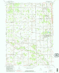
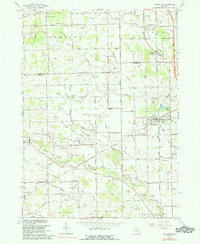
Editions of this 1967 Carleton Map
3 editions found
Other maps of this area

1902 · Ypsilanti
USGS Topo · 1:62,500

1904 · Ann Arbor
USGS Topo · 1:125,000

1906 · Ypsilanti
USGS Topo · 1:62,500

1906 · Romulus
USGS Topo · 1:62,500

1908 · Ann Arbor
USGS Topo · 1:125,000

1912 · Monroe
USGS Topo · 1:62,500

1912 · Dundee
USGS Topo · 1:62,500

1914 · Monroe
USGS Topo · 1:62,500

1926 · Dundee
USGS Topo · 1:62,500

1927 · Monroe
USGS Topo · 1:31,680
Featured Places
- Frenchtown Charter Township, MI
- Huron Charter Township, MI
- Sumpter Township, MI
- Ash Township, MI
- Raisinville Township, MI