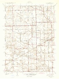
1942 Map of Carleton
USGS Topo · Published 1942About this map
Carleton and Waltz serve as central hubs in this early 1940s landscape, where a dense network of railroads like the Pere Marquette and Wabash intersect. The terrain is defined by an intricate system of drainage channels, including the Mosquito Drain, Dashrow Drain, and Zink and Kelly Drain, which reflect the area's transition into a productive agricultural and settled corridor on the Wayne and Monroe County line.
Find a feature on this map
107 named features on this map. Tap any name to fly to it.
Don’t see what you’re looking for? This feature index may not catch every label — zoom into the map to look around manually.
Map Details
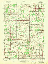
Editions of this 1942 Carleton Map
2 editions found
Other maps of this area

1902 · Ypsilanti
USGS Topo · 1:62,500

1904 · Ann Arbor
USGS Topo · 1:125,000

1906 · Ypsilanti
USGS Topo · 1:62,500

1906 · Romulus
USGS Topo · 1:62,500

1908 · Ann Arbor
USGS Topo · 1:125,000

1912 · Monroe
USGS Topo · 1:62,500

1912 · Dundee
USGS Topo · 1:62,500

1914 · Monroe
USGS Topo · 1:62,500

1926 · Dundee
USGS Topo · 1:62,500

1927 · Monroe
USGS Topo · 1:31,680
Featured Places
- Frenchtown Charter Township, MI
- Huron Charter Township, MI
- Sumpter Township, MI
- Ash Township, MI
- Raisinville Township, MI