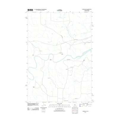
2012 Map of Carlin Flat
USGS Topo · Published 2012About this map
The Cheyenne River winds through the heart of this central South Dakota landscape, shaping a series of wide riverbanks including Arnold Bottoms and Carlin Bottoms. This modern topographic survey highlights a pastoral region defined by established family holdings and ranches, such as the Annis Ranch, Carlin-Garrett Ranch, and the W Briggs Ranch. The terrain is deeply etched by various drainage patterns, notably Carlin Draw and Robbs Draw, which lead toward the river valley.
Find a feature on this map
21 named features on this map. Tap any name to fly to it.
Don’t see what you’re looking for? This feature index may not catch every label — zoom into the map to look around manually.
Map Details
Editions of this 2012 Carlin Flat Map
This is the sole edition of this map. No revisions or reprints were ever made.
Other maps of this area

1954 · Pierre
USGS Topo · 1:250,000

1956 · Kirley
USGS Topo · 1:24,000

1956 · Cherry Creek NW
USGS Topo · 1:24,000

1956 · Carlin Flat
USGS Topo · 1:24,000

1956 · Alleman Station
USGS Topo · 1:24,000

1956 · Cherry Creek
USGS Topo · 1:24,000

1958 · Pierre
USGS Topo · 1:250,000

1981 · Herbert Creek SW
USGS Topo · 1:24,000

1981 · High Elk Hill SE
USGS Topo · 1:24,000

1981 · High Elk Hill SW
USGS Topo · 1:24,000