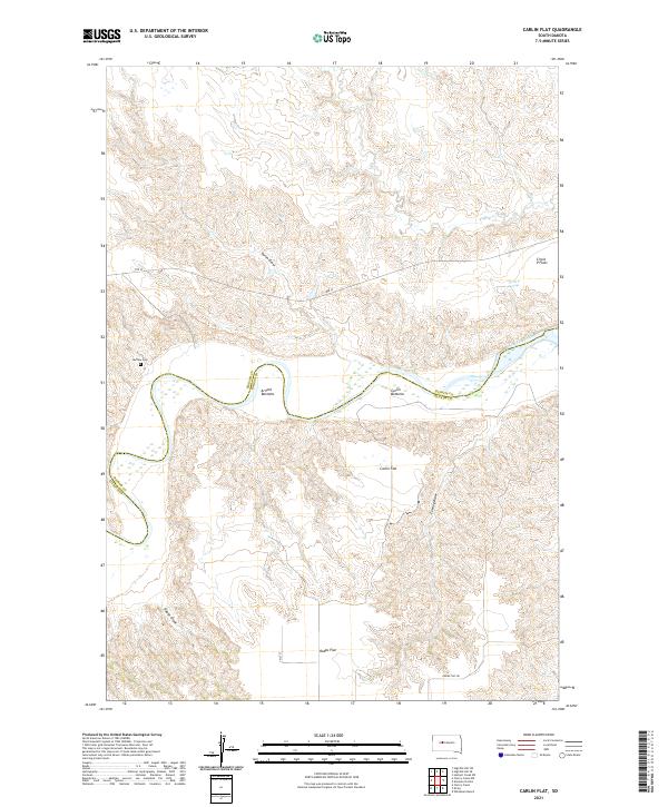
2021 Map of Carlin Flat
USGS Topo · Published 2021About this map
The Cheyenne River winds across this landscape on the border of Haakon and Ziebach counties, carving a distinct valley through the South Dakota plains. The map reveals a series of named riverside lowlands, including Arnold Bottoms and Carlin Bottoms, which sit below the higher elevations of Circle P Flats and Robbs Flat. These flatland areas and various drainages like Carlin Draw and Feeney Draw define the local topography and land use patterns in this ranching country. For those researching local heritage, the inclusion of the Buffalo Cem and Circle P Springs provides specific points of interest tied to early settlement and water access in this western prairie environment. The road network remains sparse, centered on routes such as Rte 12 and Robbs Flat Rd.
Find a feature on this map
20 named features on this map. Tap any name to fly to it.
Don’t see what you’re looking for? This feature index may not catch every label — zoom into the map to look around manually.
Map Details
Editions of this 2021 Carlin Flat Map
This is the sole edition of this map. No revisions or reprints were ever made.
Other maps of this area

1954 · Pierre
USGS Topo · 1:250,000

1956 · Kirley
USGS Topo · 1:24,000

1956 · Cherry Creek NW
USGS Topo · 1:24,000

1956 · Carlin Flat
USGS Topo · 1:24,000

1956 · Alleman Station
USGS Topo · 1:24,000

1956 · Cherry Creek
USGS Topo · 1:24,000

1958 · Pierre
USGS Topo · 1:250,000

1981 · Herbert Creek SW
USGS Topo · 1:24,000

1981 · High Elk Hill SE
USGS Topo · 1:24,000

1981 · High Elk Hill SW
USGS Topo · 1:24,000