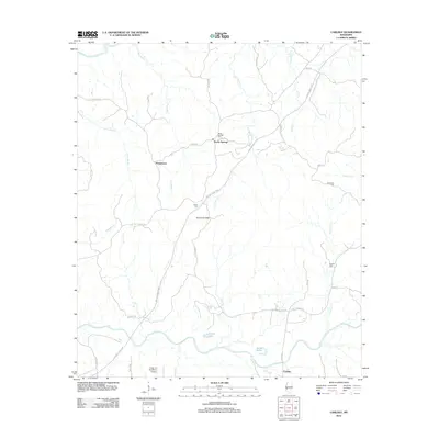
2012 Map of Carlisle
USGS Topo · Published 2012About this map
Rocky Springs sits at the heart of this landscape, a site of deep significance along the historic Natchez Trace Pkwy. The terrain is defined by the winding course of the Big Black River to the north and Bayou Pierre to the south, with the Scutchillo Hills rising between these drainages. Small rural settlements like Humphreys and Carlisle anchor the road network, which includes locally named routes such as Old Port Gibson Rd and Hickory Ridge Rd. Genealogists will find a wealth of family history in the scattered burial grounds, including Rocky Springs Cem, Harper Cem, Templeton Cem, and Flowers Cem. The presence of the Valley of the Moon Airport near the southern boundary adds a distinctive modern landmark to an area otherwise characterized by its intricate system of creeks and bayous, such as Gunns Bayou and Little Sand Cr.
Find a feature on this map
39 named features on this map. Tap any name to fly to it.
Don’t see what you’re looking for? This feature index may not catch every label — zoom into the map to look around manually.
Map Details
Editions of this 2012 Carlisle Map
This is the sole edition of this map. No revisions or reprints were ever made.
Other maps of this area

1939 · Yokena
USGS Topo · 1:62,500

1953 · Natchez
USGS Topo · 1:250,000

1955 · Jackson
USGS Topo · 1:250,000

1956 · Natchez
USGS Topo · 1:250,000

1959 · Natchez
USGS Topo · 1:250,000

1961 · Jackson
USGS Topo · 1:250,000

1962 · Jackson
USGS Topo · 1:250,000

1962 · Utica West
USGS Topo · 1:24,000

1963 · Carlisle
USGS Topo · 1:24,000

1963 · Port Gibson
USGS Topo · 1:24,000