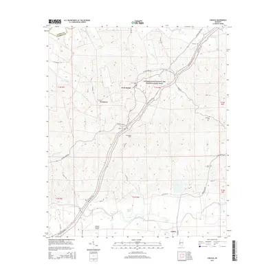
2015 Map of Carlisle
USGS Topo · Published 2015About this map
The settlement of Rocky Springs and its neighboring Rocky Springs Cemetery sit at a historic crossroads where the Natchez Trace Parkway and National Scenic Trail intersects with the Old Port Gibson Road. This Mississippi landscape is defined by the sharp topography of the Scutchillo Hills and a dense network of creek systems including Big Sand Creek and Gunns Bayou, which drain toward the wide valley of Bayou Pierre in the south. Genealogists will find significant local family markers preserved in the Harper Cemetery, Templeton Cemetery, and Flowers Cemetery 1. Near the southern rail line, the community of Carlisle serves as a local anchor, while the Valley of the Moon Airport provides a distinct modern landmark among the traditional river-and-road travel corridors that have shaped Claiborne County for generations.
Find a feature on this map
46 named features on this map. Tap any name to fly to it.
Don’t see what you’re looking for? This feature index may not catch every label — zoom into the map to look around manually.
Map Details
Editions of this 2015 Carlisle Map
This is the sole edition of this map. No revisions or reprints were ever made.
Other maps of this area

1939 · Yokena
USGS Topo · 1:62,500

1953 · Natchez
USGS Topo · 1:250,000

1955 · Jackson
USGS Topo · 1:250,000

1956 · Natchez
USGS Topo · 1:250,000

1959 · Natchez
USGS Topo · 1:250,000

1961 · Jackson
USGS Topo · 1:250,000

1962 · Jackson
USGS Topo · 1:250,000

1962 · Utica West
USGS Topo · 1:24,000

1963 · Carlisle
USGS Topo · 1:24,000

1963 · Port Gibson
USGS Topo · 1:24,000