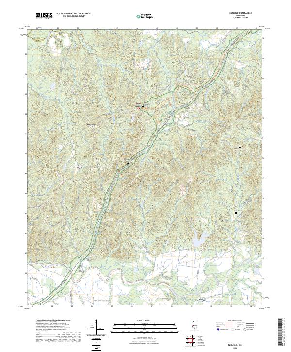
2024 Map of Carlisle
USGS Topo · Published 2024About this map
Rocky Springs and the surrounding Scutchillo Hills define this rural landscape in Claiborne County. The modern Natchez Trace Parkway and the Natchez Trace National Scenic Trl follow the historic corridor northeast from the Big Black River toward the settlement of Carlisle. This area is rich in family-named landmarks and ancestral sites, including Rocky Springs Cem, Harper Cem, and Flowers Cem, which offer significant value for genealogists tracing early residents of the region.
Find a feature on this map
51 named features on this map. Tap any name to fly to it.
Don’t see what you’re looking for? This feature index may not catch every label — zoom into the map to look around manually.
Map Details
Editions of this 2024 Carlisle Map
This is the sole edition of this map. No revisions or reprints were ever made.
Other maps of this area

1939 · Yokena
USGS Topo · 1:62,500

1953 · Natchez
USGS Topo · 1:250,000

1955 · Jackson
USGS Topo · 1:250,000

1956 · Natchez
USGS Topo · 1:250,000

1959 · Natchez
USGS Topo · 1:250,000

1961 · Jackson
USGS Topo · 1:250,000

1962 · Jackson
USGS Topo · 1:250,000

1962 · Utica West
USGS Topo · 1:24,000

1963 · Carlisle
USGS Topo · 1:24,000

1963 · Port Gibson
USGS Topo · 1:24,000