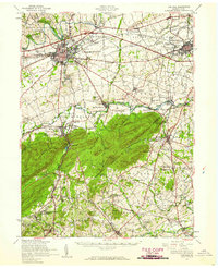
1952 Map of Carlisle
USGS Topo · Published 1959About this map
The borough of Carlisle serves as the focal point of this mid-century survey, showing the historic Carlisle Barracks and the Pennsylvania Turnpike corridor. To the southeast, the landscape rises toward the wooded slopes of Long Mountain, where the Appalachian Trail follows the ridgeline. The map documents an era of small-scale industry and community infrastructure, from Deardorffs Mill on Bermudian Creek to the Sewage Disposal plant near Mechanicsburg.
Find a feature on this map
116 named features on this map. Tap any name to fly to it.
Don’t see what you’re looking for? This feature index may not catch every label — zoom into the map to look around manually.
Map Details
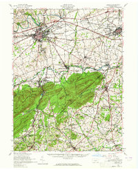
Editions of this 1952 Carlisle Map
2 editions found
Other maps of this area

1892 · Harrisburg
USGS Topo · 1:62,500

1899 · Harrisburg
USGS Topo · 1:62,500

1904 · Carlisle
USGS Topo · 1:62,500

1906 · New Cumberland
USGS Topo · 1:62,500

1907 · New Bloomfield
USGS Topo · 1:62,500

1908 · Gettysburg
USGS Topo · 1:62,500

1909 · Fairfield
USGS Topo · 1:62,500

1919 · Newville
USGS Topo · 1:62,500

1920 · Hanover
USGS Topo · 1:62,500

1922 · Hanover
USGS Topo · 1:62,500
Featured Places
- Carlisle, PA
- Middlesex Township, PA
- Schlusser, PA
- Boiling Springs, South Middleton Township
- Latimore Township, PA