
1966 Map of Carlisle
USGS Topo · Published 1975About this map
Carlisle serves as a central point in this prairie landscape, where the agricultural grid meets a complex network of glacial lakes and wetlands in Otter Tail County. The transition from the high ground of Oscar and Carlisle townships into the river valleys is marked by the presence of numerous waterfowl habitats, including the Haarstick State Wildlife Management Area. Transport and utility infrastructure dictate the modern development of the area, seen in the path of the Burlington Northern railroad and the Fergus Falls Municipal Airport (Einar Mickelson Field). Significant water features like the Otter Tail River and the Dayton Hollow Reservoir define the southeastern corner, while smaller bodies such as Oscar Lake, Fjestad Lake, and Johnson Lake dot the northern sections. This topography reveals a landscape heavily managed for both aviation and conservation during the early 1970s.
Find a feature on this map
24 named features on this map. Tap any name to fly to it.
Don’t see what you’re looking for? This feature index may not catch every label — zoom into the map to look around manually.
Map Details
Editions of this 1966 Carlisle Map
This is the sole edition of this map. No revisions or reprints were ever made.
Other maps of this area

1910 · Wendell
USGS Topo · 1:62,500

1913 · Fergus Falls
USGS Topo · 1:62,500

1913 · Wendell
USGS Topo · 1:62,500

1919 · Rothsay
USGS Topo · 1:62,500

1951 · Rothsay
USGS Topo · 1:62,500

1951 · Campbell
USGS Topo · 1:62,500

1953 · Fargo
USGS Topo · 1:250,000

1956 · Fargo
USGS Topo · 1:250,000
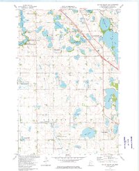
1973 · Dayton Hollow Dam
USGS Topo · 1:24,000
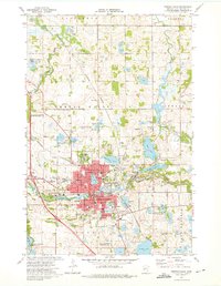
1973 · Fergus Falls
USGS Topo · 1:24,000