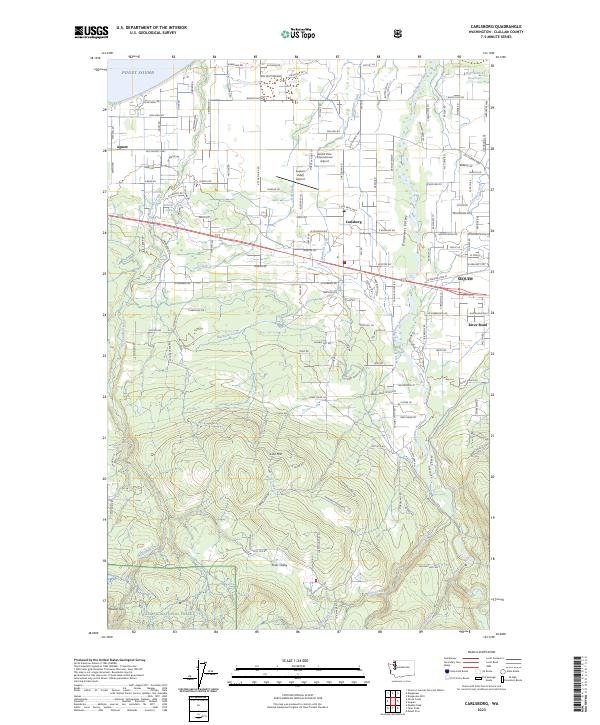
2023 Map of Carlsborg
USGS Topo · Published 2023About this map
The Dungeness Valley serves as the central corridor of this coastal landscape, where the Dungeness River flows toward Puget Sound. The settlement pattern centers on Sequim and Carlsborg, with the transition from the maritime lowlands to the foothills of the Olympic National Forest clearly defined. The northern portion of the map is a network of rural roads and residential enclaves such as Agnew, while aviation interests are represented by the Grand View International Airport and Sequim Valley Airport.
Find a feature on this map
152 named features on this map. Tap any name to fly to it.
Don’t see what you’re looking for? This feature index may not catch every label — zoom into the map to look around manually.
Map Details
Editions of this 2023 Carlsborg Map
This is the sole edition of this map. No revisions or reprints were ever made.
Other maps of this area

1918 · Port Angeles
USGS Topo · 1:62,500

1938 · Mt Constance
USGS Topo · 1:125,000

1938 · Dungeness
USGS Topo · 1:62,500

1939 · Dungeness
USGS Topo · 1:62,500

1941 · Port Angeles
USGS Topo · 1:62,500

1944 · Mt. Angeles
USGS Topo · 1:62,500

1946 · Mt. Angeles
USGS Topo · 1:62,500

1946 · Tyler Peak
USGS Topo · 1:62,500

1948 · Tyler Peak
USGS Topo · 1:62,500

1956 · Sequim
USGS Topo · 1:24,000