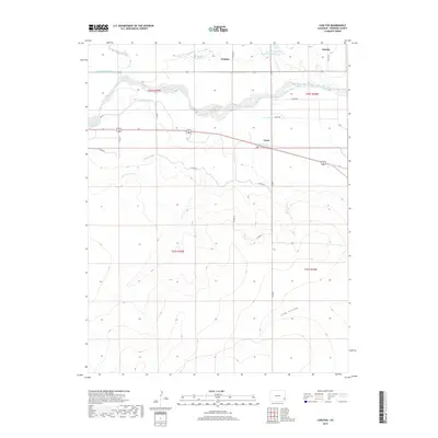
2019 Map of Carlton
USGS Topo · Published 2019About this map
The Arkansas River forms the central lifeline of this Prowers County landscape, dictating the complex network of irrigation infrastructure essential to the region. Water management is the defining characteristic here, with an intricate system of channels including the Vista Del Rio Ditch, Manvel Canal, and Fort Bent Canal diverting flow from the river and Big Sandy Creek to the surrounding plains. These diversions support small agricultural hubs like Goodale, Grote, and Parrish, which are linked by a grid of county roads such as Co RD 19 and Canal Rd.
Find a feature on this map
32 named features on this map. Tap any name to fly to it.
Don’t see what you’re looking for? This feature index may not catch every label — zoom into the map to look around manually.
Map Details
Editions of this 2019 Carlton Map
This is the sole edition of this map. No revisions or reprints were ever made.
Other maps of this area

1890 · Granada
USGS Topo · 1:125,000

1891 · Albany
USGS Topo · 1:125,000

1892 · Lamar
USGS Topo · 1:125,000

1892 · Granada
USGS Topo · 1:125,000

1892 · Two Butte
USGS Topo · 1:125,000

1893 · Two Butte
USGS Topo · 1:125,000

1893 · Albany
USGS Topo · 1:125,000

1894 · Granada
USGS Topo · 1:125,000

1952 · Carlton
USGS Topo · 1:24,000

1953 · Granada
USGS Topo · 1:24,000