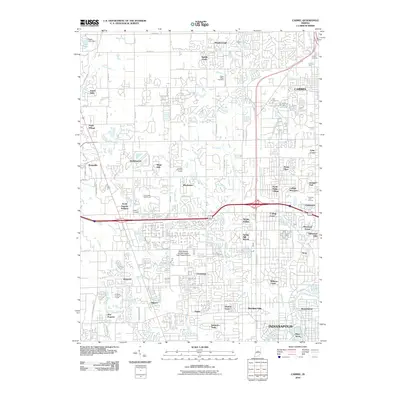
2010 Map of Carmel
USGS Topo · Published 2010About this map
Williams Creek and the White River define the southeastern landscape of this suburban corridor during a period of significant residential expansion. The map detail highlights the dense network of subdivisions including Windemere, College Meadows, and Sherwood Forest that characterizes the growth around Carmel and northern Indianapolis. Established landmarks like Poplar Ridge Cemetery and Carmel Cemetery provide historical continuity amidst the evolving landscape of golf courses and modern medical infrastructure such as the Saint Vincent Hospital Health Care Center Airport. Moving westward, the terrain transitions toward Zionsville and Eagle Village, where the watershed of Little Eagle Creek and Eagle Lake shapes the local topography. This record documents the intricate street patterns of the early 21st century, from the winding lanes of Meridian Hills to the older crossroads of Augusta.
Find a feature on this map
81 named features on this map. Tap any name to fly to it.
Don’t see what you’re looking for? This feature index may not catch every label — zoom into the map to look around manually.
Map Details
Editions of this 2010 Carmel Map
This is the sole edition of this map. No revisions or reprints were ever made.
Other maps of this area

1948 · Indianapolis East
USGS Topo · 1:24,000

1948 · Indianapolis West
USGS Topo · 1:24,000

1952 · Fishers
USGS Topo · 1:24,000

1952 · Carmel
USGS Topo · 1:24,000

1953 · Westfield
USGS Topo · 1:24,000

1953 · Rosston
USGS Topo · 1:24,000

1953 · Zionsville
USGS Topo · 1:24,000

1953 · Noblesville
USGS Topo · 1:24,000

1953 · Clermont
USGS Topo · 1:24,000

1953 · Danville
USGS Topo · 1:250,000