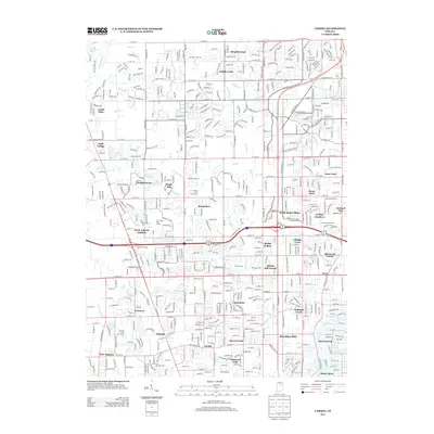
2013 Map of Carmel
USGS Topo · Published 2013About this map
The White River flows through the southeastern portion of this landscape, anchoring a region of rapid suburban development just north of Indianapolis. The area is characterized by a dense network of residential subdivisions and planned communities such as Home Place, Nora, and Meridian Hills. This 2013 survey illustrates the complex modern drainage patterns of the Central Till Plain, where natural watercourses like Williams Creek and Little Eagle Creek are integrated into a built environment that includes significant leisure spaces like the Crooked Stick Golf Course. Historically distinct nodes such as Eagle Village and the settlements of Augusta and New Augusta provide a geographic link to the area's nineteenth-century agricultural roots, now fully surrounded by the expanding street grids of Hamilton and Marion counties. The map captures a transitional moment where old unincorporated hamlets are woven into the broader metropolitan fabric.
Find a feature on this map
121 named features on this map. Tap any name to fly to it.
Don’t see what you’re looking for? This feature index may not catch every label — zoom into the map to look around manually.
Map Details
Editions of this 2013 Carmel Map
This is the sole edition of this map. No revisions or reprints were ever made.
Other maps of this area

1948 · Indianapolis East
USGS Topo · 1:24,000

1948 · Indianapolis West
USGS Topo · 1:24,000

1952 · Fishers
USGS Topo · 1:24,000

1952 · Carmel
USGS Topo · 1:24,000

1953 · Westfield
USGS Topo · 1:24,000

1953 · Rosston
USGS Topo · 1:24,000

1953 · Zionsville
USGS Topo · 1:24,000

1953 · Noblesville
USGS Topo · 1:24,000

1953 · Clermont
USGS Topo · 1:24,000

1953 · Danville
USGS Topo · 1:250,000