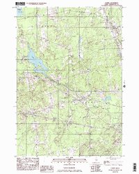
1982 Map of Carmel
USGS Topo · Published 1983About this map
The low-lying wetlands and glacial terrain of southern Penobscot County define this landscape as it appeared in the early 1980s. Squadabscook Stream and Tracy Brook wind through the township of Carmel, where the local community center is anchored by the Carmel Bible Conference and Caravel Jr High Sch. To the west, the village of Etna borders the expansive Etna Pond, which serves as a significant drainage point for Buzzell Stream and Harvey Stream.
Find a feature on this map
34 named features on this map. Tap any name to fly to it.
Don’t see what you’re looking for? This feature index may not catch every label — zoom into the map to look around manually.
Map Details
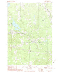
Editions of this 1982 Carmel Map
2 editions found
Other maps of this area

1900 · Bucksport
USGS Topo · 1:62,500

1902 · Bucksport
USGS Topo · 1:62,500

1902 · Bangor
USGS Topo · 1:62,500

1931 · Stetson
USGS Topo · 1:48,000

1932 · Brooks
USGS Topo · 1:62,500

1935 · Stetson
USGS Topo · 1:62,500

1942 · Bangor
USGS Topo · 1:62,500

1942 · Bucksport
USGS Topo · 1:62,500

1946 · Bangor
USGS Topo · 1:62,500

1948 · Bangor
USGS Topo · 1:250,000