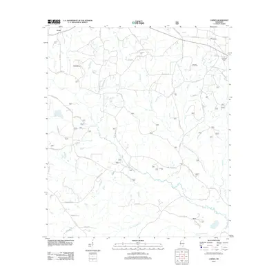
2012 Map of Carnes
USGS Topo · Published 2012About this map
The small settlement of Carnes and the community of Texas anchor this Stone County landscape, defined by a dense network of country roads and timber-lined creeks. The era's energy economy is visible in the footprint of the Pistol Ridge Oil and Gas Field to the west and the Maxie Oil and Gas Field to the east. For those tracing local families, numerous small burial grounds are scattered across the terrain, including Entrekin Cem, Davis Cem, Seal Cem, and J E Bounds Memorial Cem.
Find a feature on this map
71 named features on this map. Tap any name to fly to it.
Don’t see what you’re looking for? This feature index may not catch every label — zoom into the map to look around manually.
Map Details
Editions of this 2012 Carnes Map
This is the sole edition of this map. No revisions or reprints were ever made.
Other maps of this area

1947 · Wiggins
USGS Topo · 1:62,500

1947 · New Augusta
USGS Topo · 1:62,500

1949 · Wiggins
USGS Topo · 1:62,500

1949 · New Augusta
USGS Topo · 1:62,500

1953 · Hattiesburg
USGS Topo · 1:250,000

1953 · Mobile
USGS Topo · 1:250,000

1957 · Mobile
USGS Topo · 1:250,000

1958 · Hattiesburg
USGS Topo · 1:250,000

1958 · Carnes
USGS Topo · 1:62,500

1960 · Mobile
USGS Topo · 1:250,000