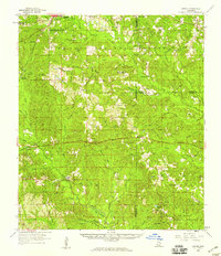
1958 Map of Carnes
USGS Topo · Published 1959This historical map portrays the area of Carnes in 1958, primarily covering Pearl River County as well as portions of Forrest County, Lamar County, and Stone County. Featuring a scale of 1:62500, this map provides a highly detailed snapshot of the terrain, roads, buildings, counties, and historical landmarks in the Carnes region at the time. Published in 1959, it is one of 2 known editions of this map due to revisions or reprints.
Map Details
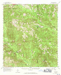
Editions of this 1958 Carnes Map
2 editions found
Historical Maps of Forrest County Through Time
15 maps found
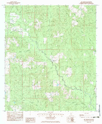
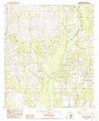
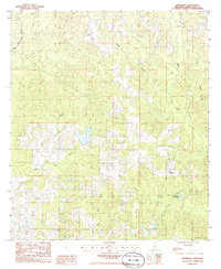
1958 Carnes
Pearl River County, MS
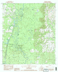
1976 Sun NE
Pearl River County, MS
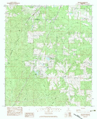
1982 Savannah
Pearl River County, MS
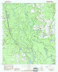
1983 Big Swamp
Pearl River County, MS
1983 Henleyfield
Pearl River County, MS
1983 Hillsdale
Pearl River County, MS
1983 Industrial
Pearl River County, MS
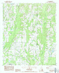
1986 Caesar
Pearl River County, MS
1986 Fords Creek
Pearl River County, MS
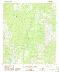
1986 McNeill
Pearl River County, MS
1986 Millard
Pearl River County, MS
1986 Orvisburg
Pearl River County, MS
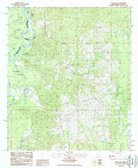
1986 White Sand
Pearl River County, MS
1997 Industrial
Pearl River County, MS
2000 Hillsdale
Pearl River County, MS