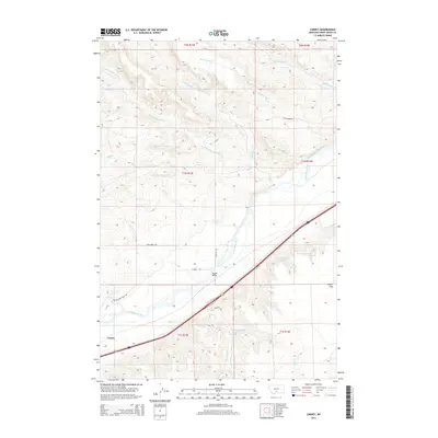
2014 Map of Carney
USGS Topo · Published 2014About this map
The Yellowstone River cuts a wide path through this Sweet Grass County landscape, serving as the primary geographic anchor for the small settlement of Carney. The transport network here reflects both historic and modern corridors, notably where the Yellowstone Trail Rd and Frontage Rd parallel the river's course. North of the river, a series of seasonal drainages including Shed Cr, Featherbed Cr, and Little Timber Cr carve through the terrain, while landmarks like Vogues Bridge facilitate movement across the water. To the southeast, the level terrain of Airport Flats stands in contrast to the dissected uplands. This 2014 survey documents a region defined by its water rights and ranching infrastructure, evidenced by named springs like 01S13E12AADD01 Spring and a grid of rural routes including Dugout Rd and Cow Creek Rd.
Find a feature on this map
29 named features on this map. Tap any name to fly to it.
Don’t see what you’re looking for? This feature index may not catch every label — zoom into the map to look around manually.
Map Details
Editions of this 2014 Carney Map
This is the sole edition of this map. No revisions or reprints were ever made.
Other maps of this area

1891 · Livingston
USGS Topo · 1:250,000

1891 · Big Timber
USGS Topo · 1:125,000

1893 · Livingston
USGS Topo · 1:250,000

1893 · Big Timber
USGS Topo · 1:125,000

1947 · Bozeman
USGS Topo · 1:250,000

1948 · Bozeman
USGS Topo · 1:250,000
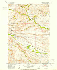
1951 · Grosfield Ranch
USGS Topo · 1:24,000
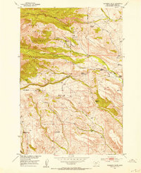
1951 · Raspberry Butte
USGS Topo · 1:24,000

1951 · Kelly Hills
USGS Topo · 1:24,000

1951 · Springdale
USGS Topo · 1:24,000