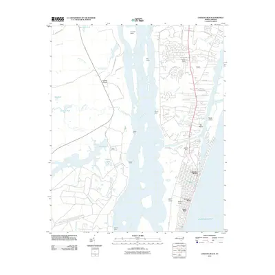
2010 Map of Carolina Beach
USGS Topo · Published 2010About this map
Pleasure Island and the coastal communities of Carolina Beach and Wilmington Beach dominate the eastern landscape of this coastal survey. The map records a complex shoreline where the Atlantic Ocean meets Myrtle Sound and the Cape Fear River. Inland from the beaches, the engineered passage of Snows Cut separates the island from the mainland, while the western banks of the river feature prominent estates and landmarks such as Orton Pond and Anderson Landing.
Find a feature on this map
59 named features on this map. Tap any name to fly to it.
Don’t see what you’re looking for? This feature index may not catch every label — zoom into the map to look around manually.
Map Details
Editions of this 2010 Carolina Beach Map
This is the sole edition of this map. No revisions or reprints were ever made.
Other maps of this area

1942 · Wilmington
USGS Topo · 1:62,500

1943 · Funston
USGS Topo · 1:24,000

1943 · Winnabow
USGS Topo · 1:24,000

1944 · Winnabow
USGS Topo · 1:31,680

1946 · Southport
USGS Topo · 1:24,000

1946 · Snow Marsh
USGS Topo · 1:24,000

1948 · Wilmington
USGS Topo · 1:62,500

1949 · Georgetown
USGS Topo · 1:250,000

1950 · Winnabow
USGS Topo · 1:25,000

1953 · Florence
USGS Topo · 1:250,000