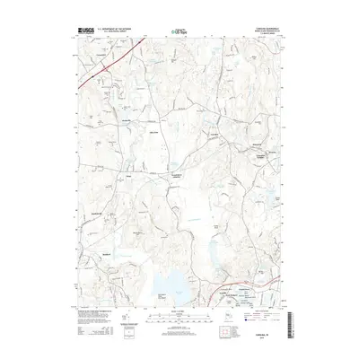
2015 Map of Carolina
USGS Topo · Published 2015About this map
Fort Ninigret stands as a significant landmark on Fort Neck near the southern coast of this South County landscape, where the Pawcatuck River and Wood River define the local hydrology. The area is marked by a high density of ancestral family lots, such as the Hoxie Family Lot, Worden Lot, and Doctor Isaac Collins Lot, providing a granular look at traditional land divisions and family estates. These small, named plots are interspersed between established villages like Carolina, Shannock, and Bradford.
Find a feature on this map
185 named features on this map. Tap any name to fly to it.
Don’t see what you’re looking for? This feature index may not catch every label — zoom into the map to look around manually.
Map Details
Editions of this 2015 Carolina Map
This is the sole edition of this map. No revisions or reprints were ever made.
Other maps of this area

1889 · Stonington
USGS Topo · 1:62,500

1889 · Charlestown
USGS Topo · 1:62,500

1889 · Moosup
USGS Topo · 1:62,500

1890 · Kent
USGS Topo · 1:62,500

1893 · Moosup
USGS Topo · 1:62,500

1893 · Stonington
USGS Topo · 1:62,500

1894 · Kent
USGS Topo · 1:62,500

1919 · Charlestown
USGS Topo · 1:62,500

1920 · Moosup
USGS Topo · 1:62,500

1921 · Charlestown
USGS Topo · 1:62,500