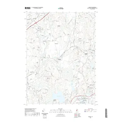
2021 Map of Carolina
USGS Topo · Published 2021About this map
The Pawcatuck River and its numerous tributaries, including the Wood River, define the landscape of south-central Rhode Island in this contemporary topographic study. The area is marked by a deep layering of indigenous history and early European settlement, particularly evident near the southern coast where Fort Ninigret and the Royal Indian Burial Ground are situated. These sites, along with Indian Burying Hill, point to the long-standing significance of the terrain near Watchaug Pond and the coastal inlets.
Find a feature on this map
118 named features on this map. Tap any name to fly to it.
Don’t see what you’re looking for? This feature index may not catch every label — zoom into the map to look around manually.
Map Details
Editions of this 2021 Carolina Map
This is the sole edition of this map. No revisions or reprints were ever made.
Other maps of this area

1889 · Stonington
USGS Topo · 1:62,500

1889 · Charlestown
USGS Topo · 1:62,500

1889 · Moosup
USGS Topo · 1:62,500

1890 · Kent
USGS Topo · 1:62,500

1893 · Moosup
USGS Topo · 1:62,500

1893 · Stonington
USGS Topo · 1:62,500

1894 · Kent
USGS Topo · 1:62,500

1919 · Charlestown
USGS Topo · 1:62,500

1920 · Moosup
USGS Topo · 1:62,500

1921 · Charlestown
USGS Topo · 1:62,500