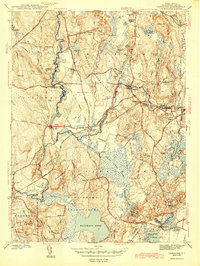
1943 Map of Carolina
USGS Topo · Published 1943About this map
The Pawcatuck River and its tributary, the Wood River, define this southern Rhode Island landscape during the mid-war period. Industrial and residential clusters are situated along these waterways, most notably at Carolina and Shannock, where the New York New Haven and Hartford railroad provides a vital transportation spine. The map documents a rural transition where working landscapes like the Sullivan Quarries near Bradford sit adjacent to large public lands such as the Carolina State Reservation and Burlingame State Reservation. Genealogists will find the Burdick Cem and local schoolhouses like Pawcatuck Valley Sch preserved in their 1940s context. Large bodies of water, including Watchaug Pond and School House Pond, dominate the southern coastal plain, illustrating the region's characteristic mix of wetland, forest, and rail-centered villages.
Find a feature on this map
62 named features on this map. Tap any name to fly to it.
Don’t see what you’re looking for? This feature index may not catch every label — zoom into the map to look around manually.
Map Details
Editions of this 1943 Carolina Map
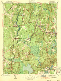
2 editions found
Other maps of this area

1889 · Stonington
USGS Topo · 1:62,500

1889 · Charlestown
USGS Topo · 1:62,500

1889 · Moosup
USGS Topo · 1:62,500

1890 · Kent
USGS Topo · 1:62,500

1893 · Moosup
USGS Topo · 1:62,500

1893 · Stonington
USGS Topo · 1:62,500

1894 · Kent
USGS Topo · 1:62,500

1919 · Charlestown
USGS Topo · 1:62,500

1920 · Moosup
USGS Topo · 1:62,500

1921 · Charlestown
USGS Topo · 1:62,500