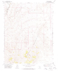
1973 Map of Carp
USGS Topo · Published 1977About this map
Carp serves as a lonely outpost in southeastern Nevada, situated where the Union Pacific railroad corridor cuts through the high desert. The settlement is centered near Meadow Valley and Pacific Wash, where a Well BM 2588 and a Reservoir indicate the critical importance of water management in this arid environment during the early 1970s. The landscape is dominated by the massive block of the Mormon Mountains, which fill the southern half of the quadrangle with complex topography.
Find a feature on this map
14 named features on this map. Tap any name to fly to it.
Don’t see what you’re looking for? This feature index may not catch every label — zoom into the map to look around manually.
Map Details
Editions of this 1973 Carp Map
2 editions found
Other maps of this area

1885 · Pioche
USGS Topo · 1:250,000

1886 · Saint Thomas
USGS Topo · 1:250,000

1886 · Pioche
USGS Topo · 1:250,000

1893 · Saint Thomas
USGS Topo · 1:250,000

1954 · Caliente
USGS Topo · 1:250,000

1954 · Las Vegas
USGS Topo · 1:250,000

1957 · Las Vegas
USGS Topo · 1:250,000

1959 · Caliente
USGS Topo · 1:250,000

1959 · Las Vegas
USGS Topo · 1:250,000

1962 · Las Vegas
USGS Topo · 1:250,000