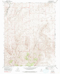
1973 Map of Carp
USGS Topo · Published 1980About this map
Carp serves as the primary point of human activity in this arid Lincoln County landscape, situated where the Union Pacific line follows the natural corridor of the Meadow Valley Wash. The settlement's infrastructure is sparse, defined by essential water management features such as a Well and a small Reservoir. To the east, the terrain rises sharply into the Mormon Mountains, a region characterized by high elevation and steep drainage patterns.
Find a feature on this map
10 named features on this map. Tap any name to fly to it.
Don’t see what you’re looking for? This feature index may not catch every label — zoom into the map to look around manually.
Map Details
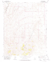
Editions of this 1973 Carp Map
2 editions found
Other maps of this area

1885 · Pioche
USGS Topo · 1:250,000

1886 · Saint Thomas
USGS Topo · 1:250,000

1886 · Pioche
USGS Topo · 1:250,000

1893 · Saint Thomas
USGS Topo · 1:250,000

1954 · Caliente
USGS Topo · 1:250,000

1954 · Las Vegas
USGS Topo · 1:250,000

1957 · Las Vegas
USGS Topo · 1:250,000

1959 · Caliente
USGS Topo · 1:250,000

1959 · Las Vegas
USGS Topo · 1:250,000

1962 · Las Vegas
USGS Topo · 1:250,000